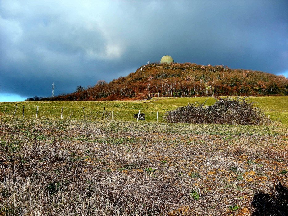
Located to the north-west of Lyon, Mont Thou is the second highest summit of the monts d'Or range after mont Verdun (626 mètres). The summit is capped by a Ground Master 406 radar and is visible from the city center. It controls planes for a radius of 400km. The summit offers a view of Lyon and the Alps beyond. It is reachable by a steep climb from the main road and this section of road is closed to cars at the weekend.
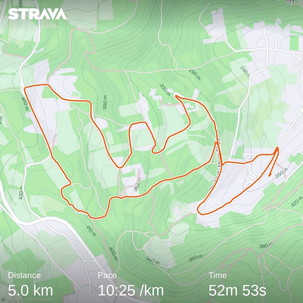
I wondered if the Route du Mont Thou, starting at St Romain, would be suitable for rollerskiing. I'd cycled it and the slope isn't too steep so skating seemed reasonable. There is a carpark at the foot of the climb but this is often full. The slope is around 7% as far as the Hameau du Mont Thou where you turn right but there is a very steep slope for around 500 meters where you turn left onto a wider road for a few hundred meters before the final climb to the summit on a road that is closed at the weekend. Overall 400m of climbing over 6km, not bad for Lyon. The return, on foot, is 3km taking the path to the east of the summit to Pelossey. At 400 m altitude turn south via caborne to join the Chemin du Pinay.

Today there had been some spring road gravelling (chip and seal) which wasn't great but also the road surface is rough in parts, particuarly lower down in the woods. All skiable though. When I got to the Hameau I realised I'd left my trainers back in the car so had to walk down with my ski boots, which won't have done the soles any favours. 25 minutes for the climb. From the Hameau du Thou take the Chemin des Pierres Blanche (1.7km). Not a bad route, except for the road surface and shoes. The slope is not too hard.
